Welcome to our site
geolandsurveybali.com
About us…
Geoland Survey Bali
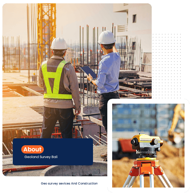
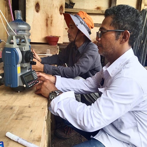
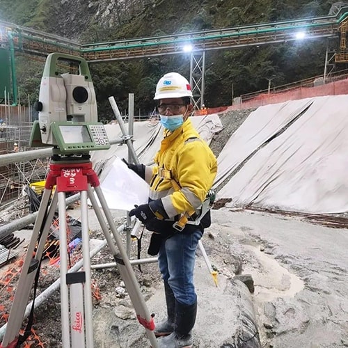
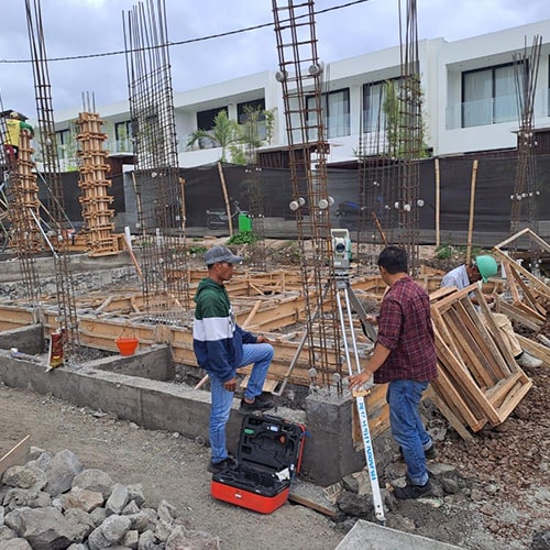
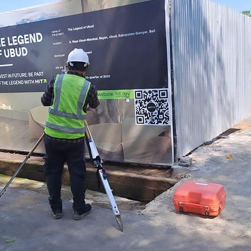
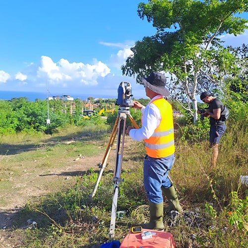
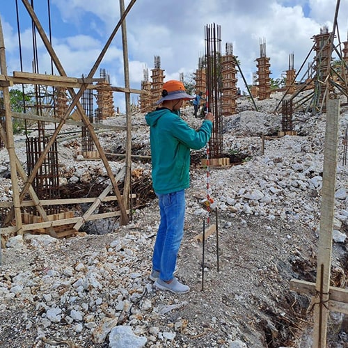
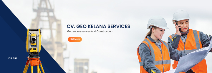
Geo Survey Services and Construction is a reputable company specializing in land surveying, mapping, and construction support. With a team of experienced professionals, the company provides high-precision services, including topographical surveys, boundary and land title surveys, hydrographic assessments, and construction staking. These services are essential for clients in real estate, infrastructure planning, and construction who require accurate data for decision-making.
250+
Project Completed
100%
Customer Satisfaction
15+
Experience
Geoland Survey Bali
Geo survey services And Construction
Our Services
The following are some of the services provided by CV. Geo Kelana Services
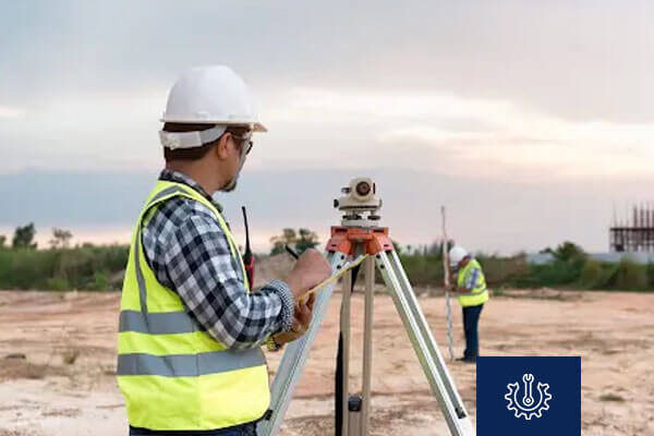
Topographic Mapping
High-precision land surface mapping services for construction, spatial planning, and development project needs.
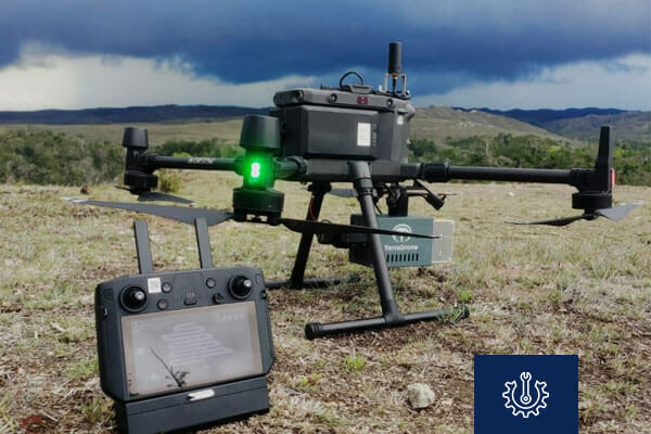
LiDAR Measurement
High-precision LiDAR scanning for detailed contour and vegetation analysis across various land types.
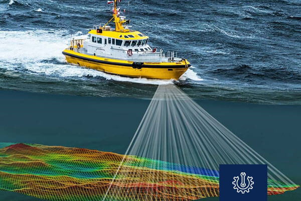
Bathymetry
Accurate water depth measurement using sonar to map seabeds, rivers, lakes and etc.
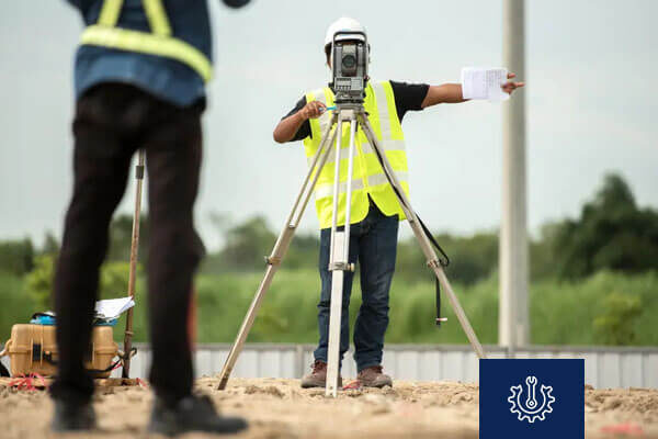
Land Surveying
Detailed land area measurement for agriculture, property, and development planning.
Geo Survey Services and Construction has earned the trust of private companies, government entities, and individual clients, fostering strong, long-lasting partnerships in the industry.
Why Choose Us ?
Articles
www.geolandsurveybali.com
New Post
Blog & Article
complete information about CV. Geo Kelana Services


